
Melbourne, FL
Loading live weather…
Next 24 Hours
7-Day Forecast
🗺️ Live Interactive Maps
Every Windy map, centered on Melbourne (zip 32935). Maps load as you scroll — drag, zoom, and scrub the timeline on any of them.
Precipitation & Storms
Satellite & Clouds
Wind & Pressure
Temperature & Humidity
Marine & Ocean
Air Quality & Dust
Maps powered by Windy.com — air quality & dust from the Copernicus CAMS model.
🌀 Hurricane Central — Atlantic Tropics
🌀 Tropical Storm Vance
- Max Winds
- 63 mph (55 kt)
- Pressure
- 995 mb
- Movement
- NW at 6 mph
- Position
- 15.3N 105.1W
- Updated
- 2026-10-26T09:00:00.000Z


Public Advisory · Forecast Discussion · Wind Probabilities · All NHC Maps & Advisories
🌀 Tropical Storm Olana
- Max Winds
- 40 mph (35 kt)
- Pressure
- 1002 mb
- Movement
- E at 7 mph
- Position
- 14.9N 176.6W
- Updated
- 2026-10-26T09:00:00.000Z


Public Advisory · Forecast Discussion · Wind Probabilities · All NHC Maps & Advisories



Model guidance & tracking: National Hurricane Center · Mike's Weather Page (spaghettimodels.com) · Tropical Tidbits Model Analysis · NOAA Model Guidance (MAG) · NHC Model Info
🌐 Tropical Model Guidance
The same western-Atlantic view rendered by each major forecast model — compare how the Euro, American, German, and North American models handle developing systems. Showing surface pressure; use the layers menu on any map to switch fields. Maps load as you scroll.
Full model & spaghetti-track guidance: Tropical Tidbits — Model Maps · Tropical Tidbits — Atlantic Basin · Pivotal Weather · NOAA NCEP Model Guidance (MAG) · College of DuPage Models · Mike's Weather Page (spaghetti models) · National Hurricane Center
🛰️ Extended Model & Analysis Suite
A deeper set of live meteorological imagery for the weather nerds — click any category to expand. Curated in the spirit of Mike's Weather Page.
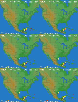
Satellite & Lightning


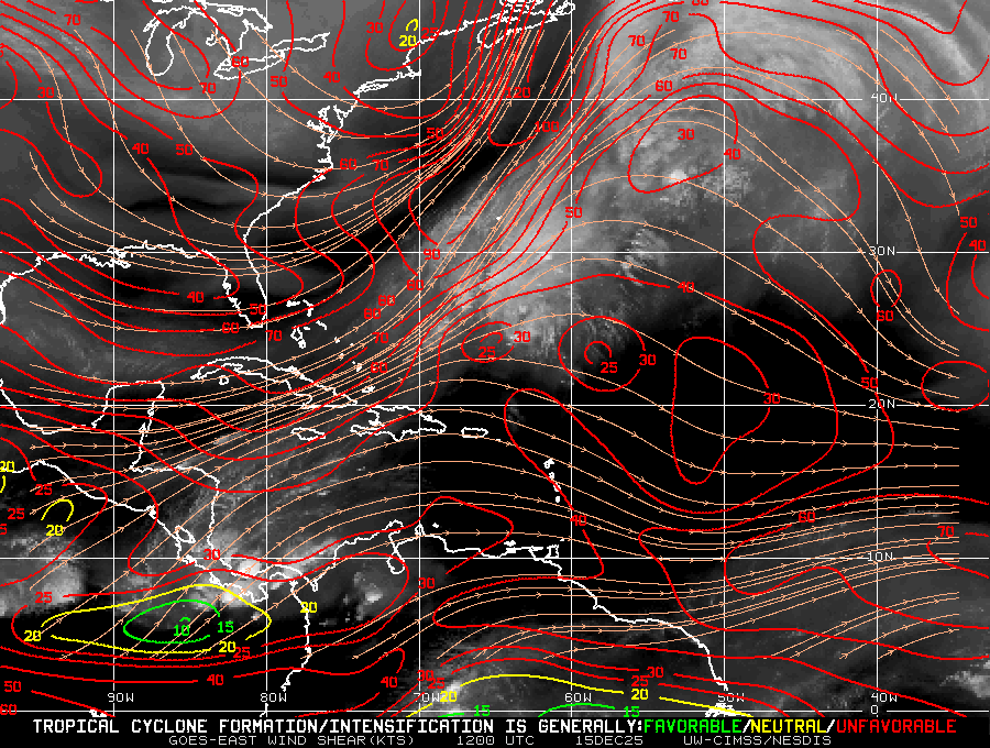
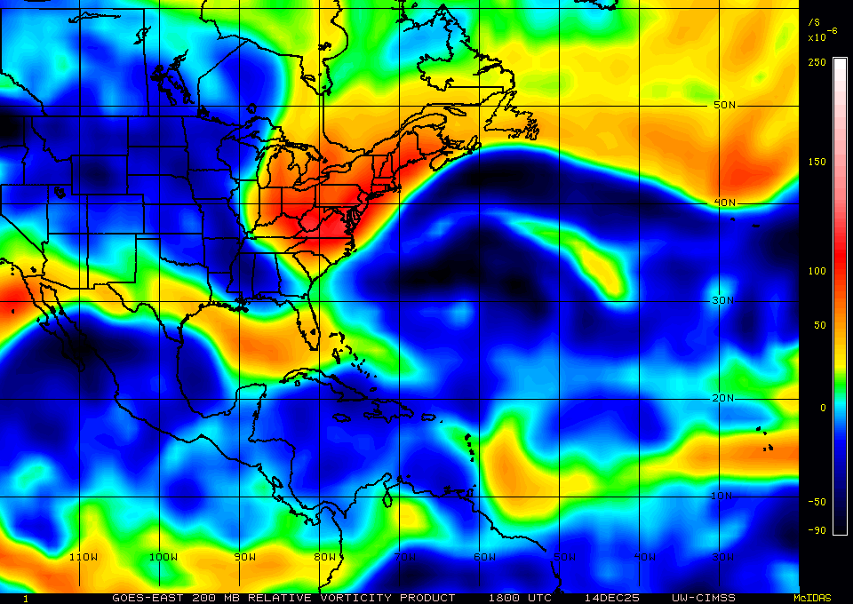
Tropical Analysis (UW/SSEC)
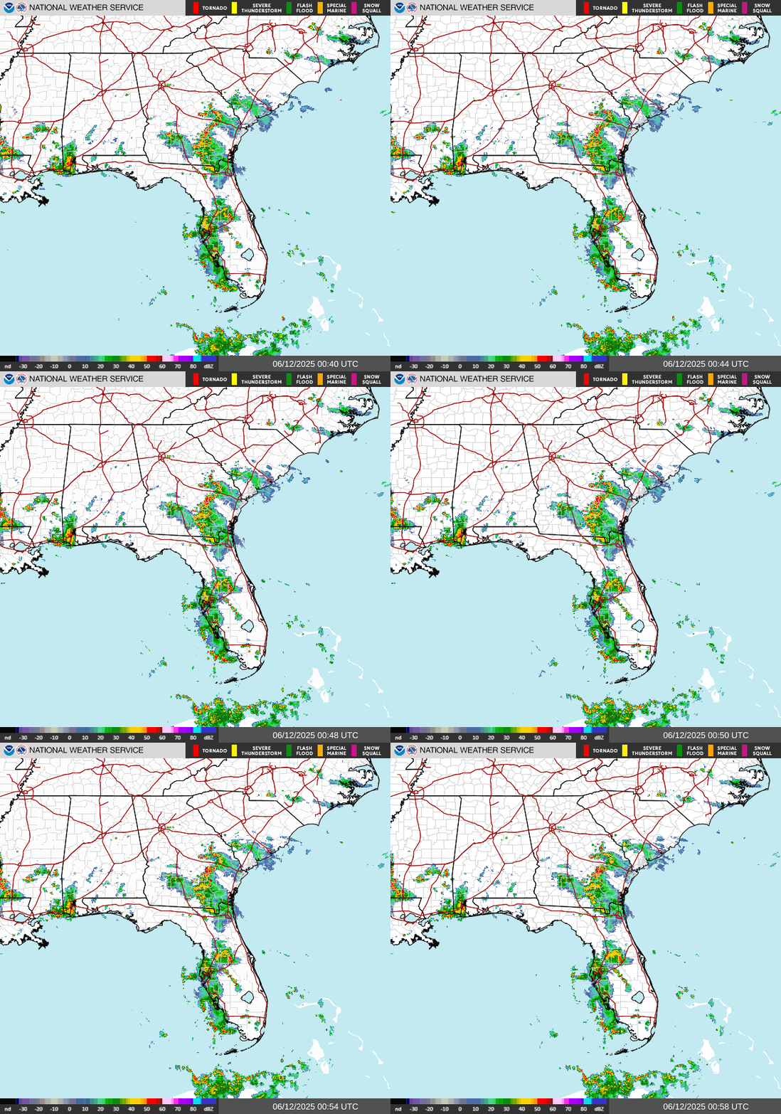
Radar Loops
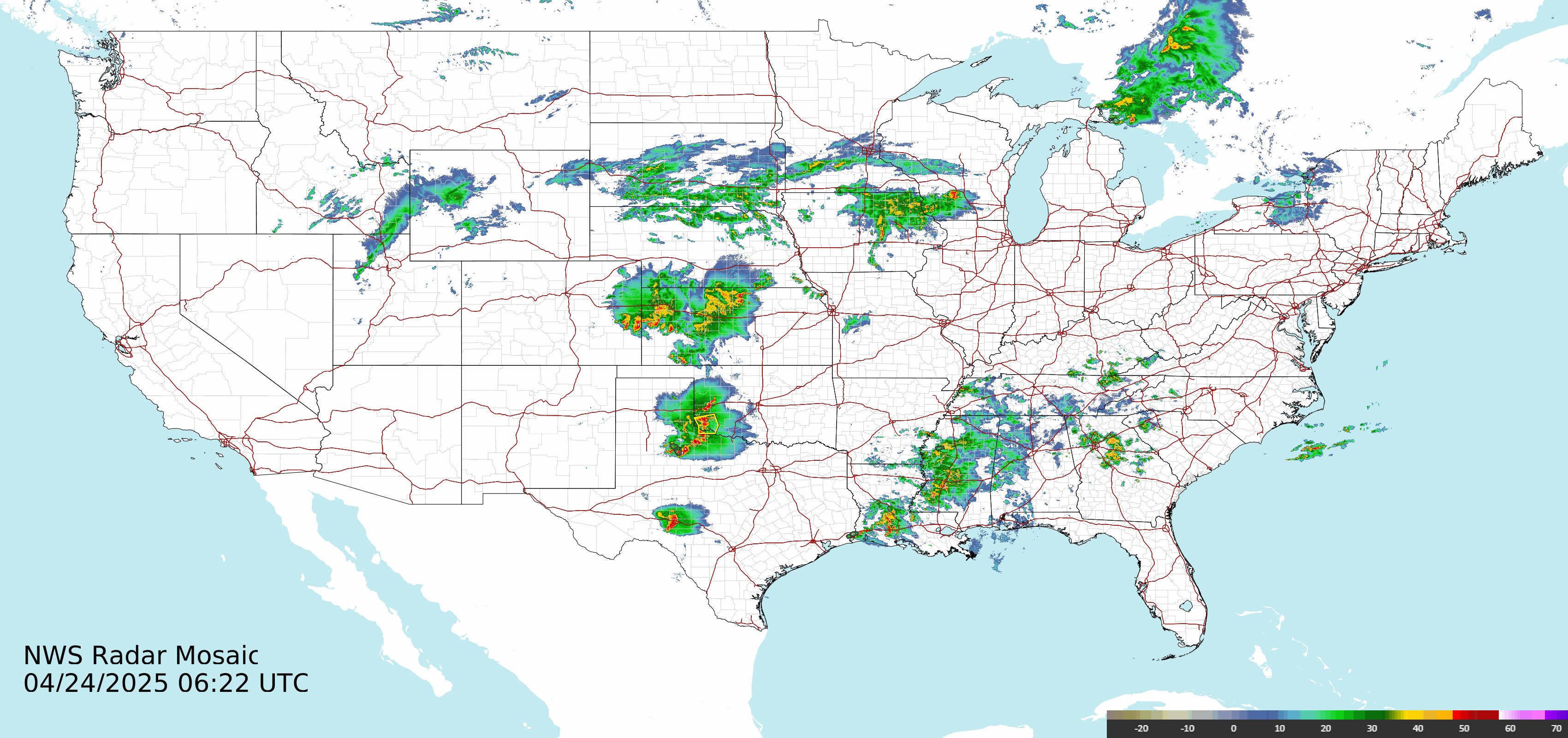
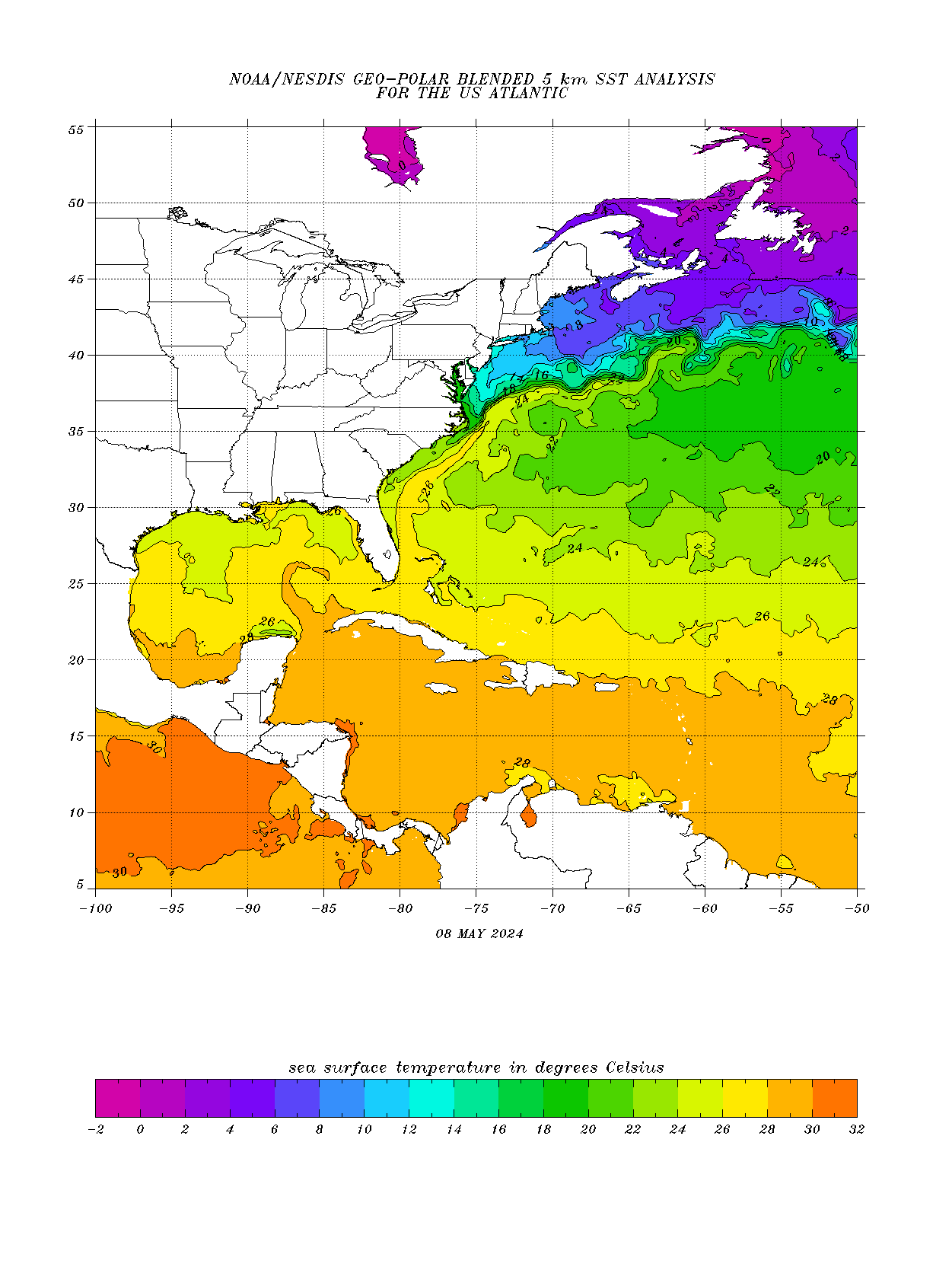
Ocean & Storm-Fuel Factors
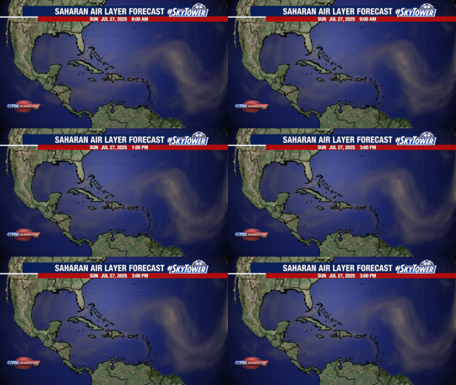
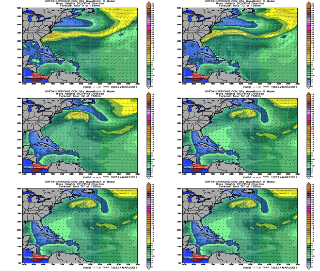
Model Guidance & Outlooks
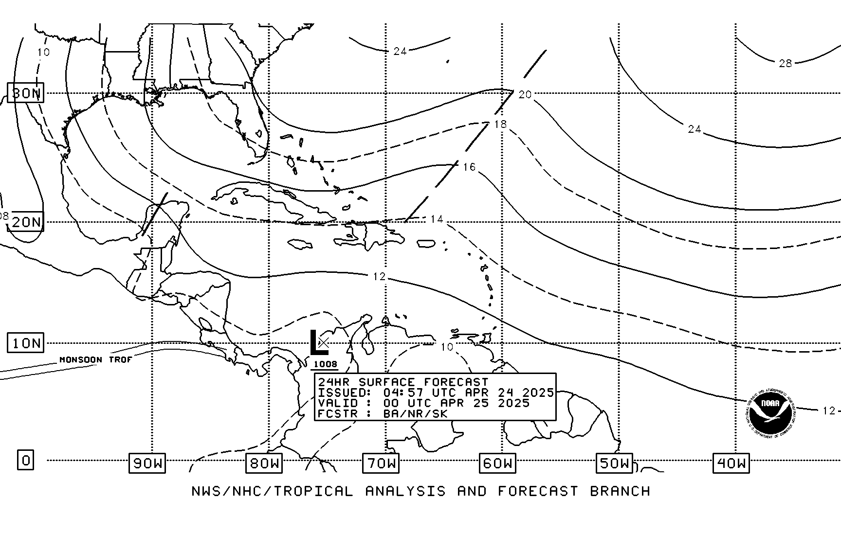
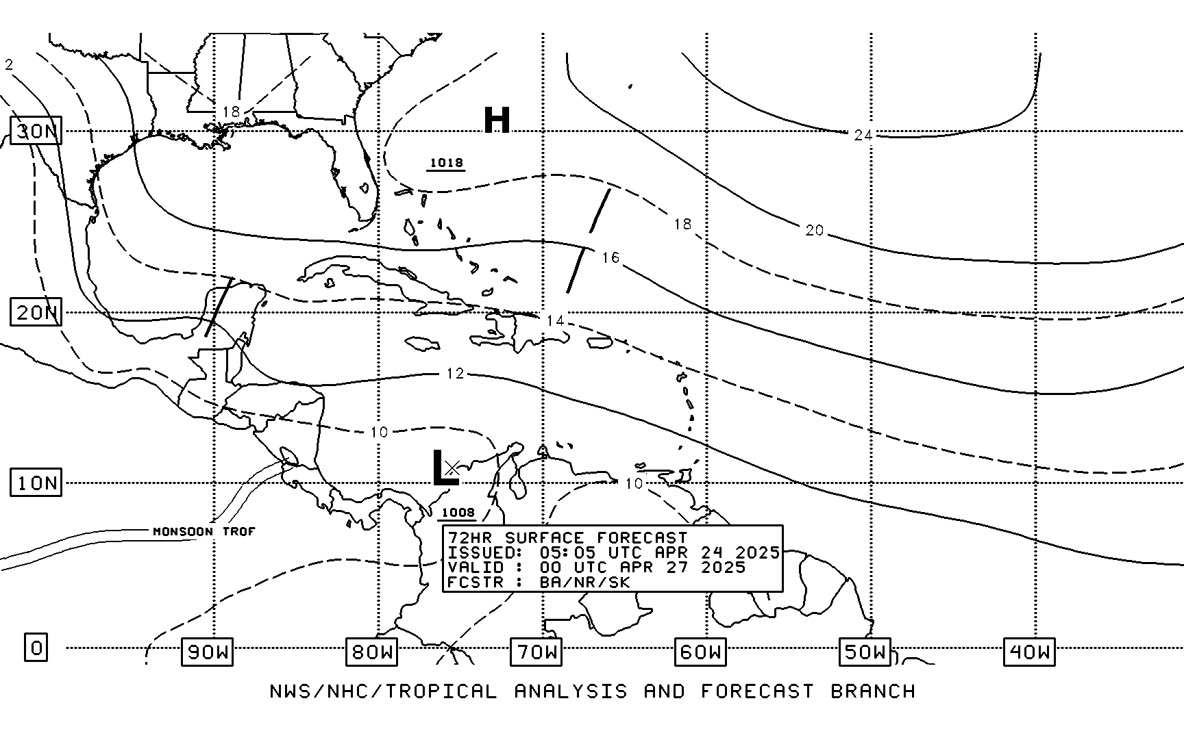
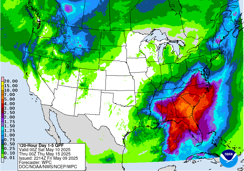
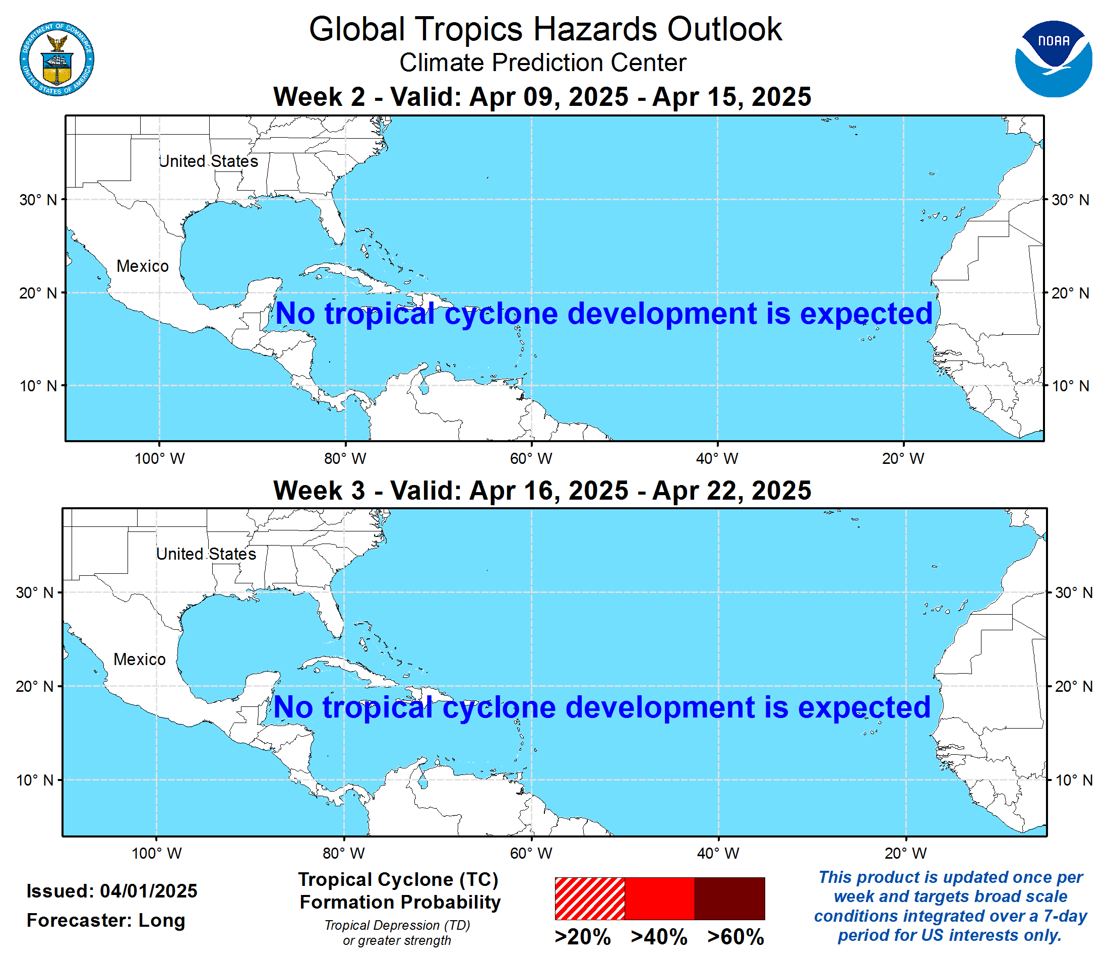
For the complete link collection — buoys, model runs, climatology, and more — visit Mike's Weather Page directly.
More Data Sources
Forecast data by Open-Meteo · Alerts & tropics by NWS / NHC · Lightning by Blitzortung · Maps by Windy